With our staff of renowned oceanographic scientists and highly experienced computer specialists, System Science Applications understands the GIS environment like no other company. Our solutions work the way scientific professionals work while offering managerial controls that meet both the rigorous business demands of collaborative workgroups as well as maintaining the ease-of-use required for the single user.
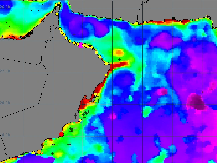
PHAM / Spatial Analysis
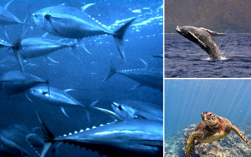
Where fish and other animals are found, and the ocean conditions that bring them there.
More about PHAM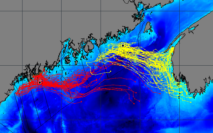
Drifter, Tracker and Moving Tracks
Drifting objects, animal tracks, and ships and tagged animals played back on the map.
The plug-insSee EASy software in use now
Mariculture
The AquaModel plug in to EASy now supports the evaluation of Open Ocean sites and the placement of multiple farms in one grouping, studying the environmental impact as well as the survivability of the fish. More info | Videos
"I want to congratulate the SCCWRP-EASy team on a tremendous OPeNDAP-GIS interface for viewing mooring data. This should be played up as one of the true success stories of the NVODS effort."