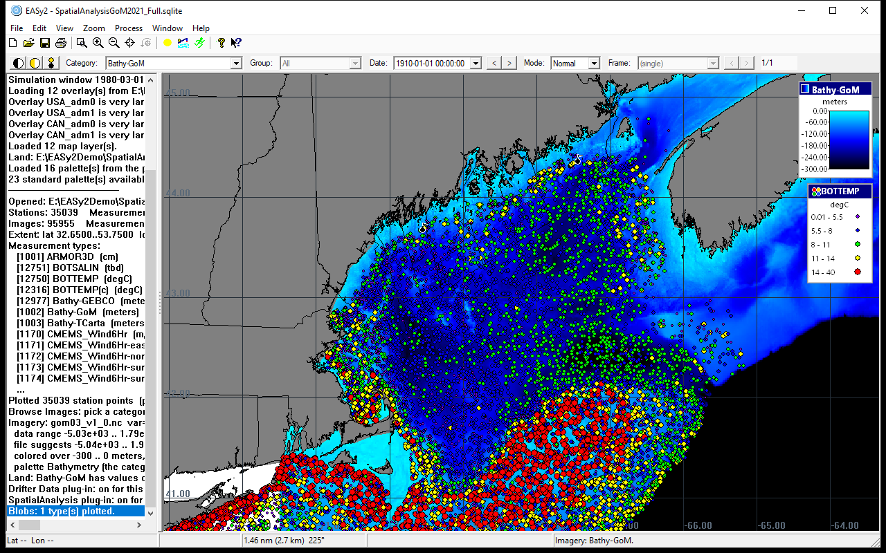
Unlike other GIS software, EASy has been specifically designed to display data utilizing time, depth and geo-spatial information. This dynamic 4-D capability is vital for studying marine and terrestrial environments with their complex horizontal and vertical structures.
EASy's capabilities provide scientists, resource managers, companies and educators with the tools to better interpret and communicate their ideas. Experienced teams work in collaboration with users, customizing EASy to meet needs rapidly and affordably without expensive training. EASy's use in an expanding arena of projects is a testament to its versatility and the experience of our personnel.
EASy2
EASy2 is the new version of EASy, written from the ground up for 64-bit Windows. It keeps EASy's way of working: the same kinds of projects, the same menus, and the same windows where they worked. A project made with the earlier version is brought into EASy2 in one step, with its imagery, measurements, overlays, palettes, scenarios and farms.
EASy2 is faster: a project with millions of measurements opens in seconds and animates smoothly. It reads satellite imagery and ocean model output directly, in NetCDF, HDF4, HDF5 and GeoTIFF, including models on curved grids and the meshes of FVCOM and DHI MIKE models, and it can download imagery from Copernicus Marine, NOAA and NASA automatically.
New tools find the main patterns of change in a series of images (EOF analysis), average daily images into monthly or seasonal ones, and export a project to Google Earth and to an interactive web map. What is new in EASy2