AquaModel
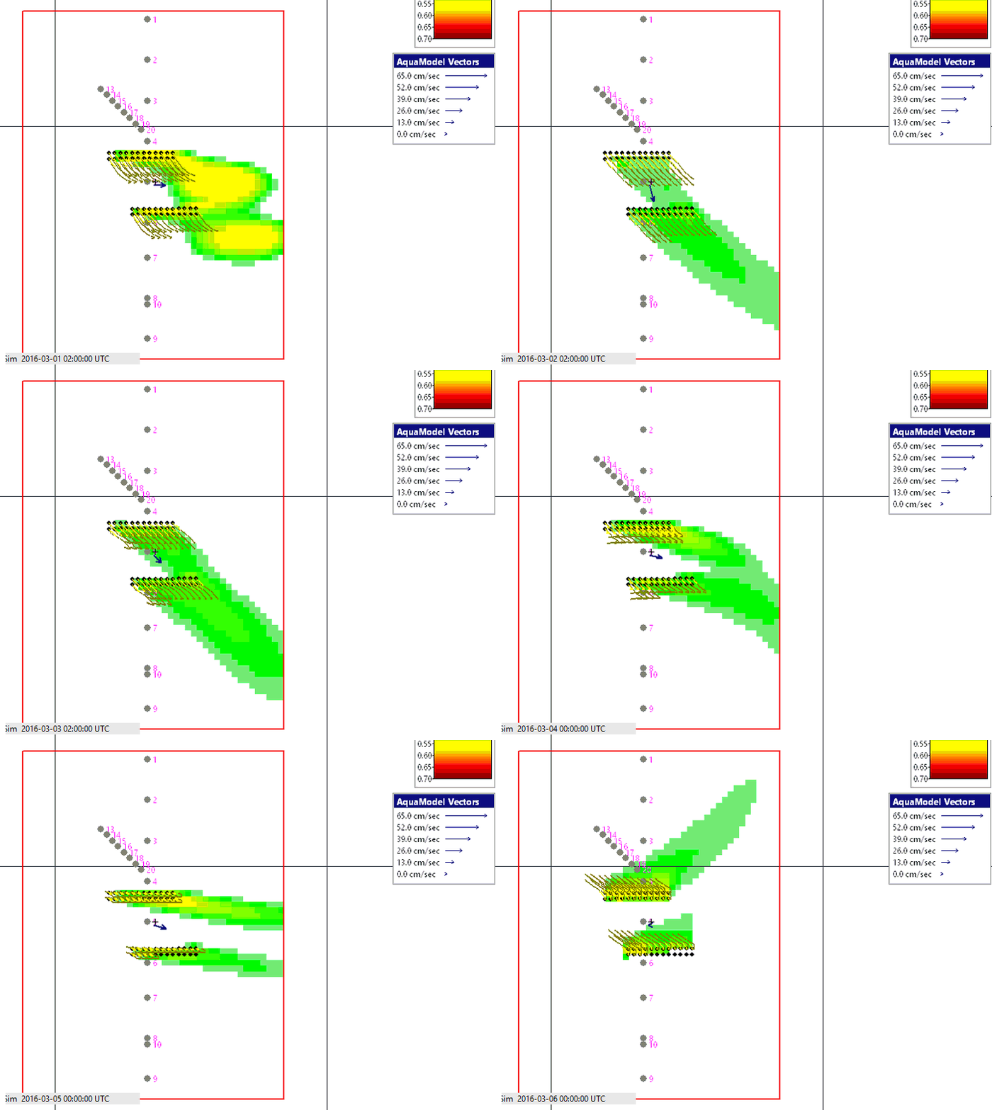
AquaModel simulates a fish farm and its effect on the water and the sea bed: fish growth, feeding, oxygen, dissolved and particulate wastes, and the carbon and oxygen of the sediments under and around the pens. It runs on the project's currents and ambient conditions, for a single farm or for many farms in a region, in two or three dimensions.
In EASy2 it reads the mesh output of FVCOM and DHI MIKE models directly, can show a farm's own effect by comparing a run with a run without fish, and can start from the sea bed left at the end of a previous run. See aquamodel.net for more information.
PHAM / Spatial Analysis
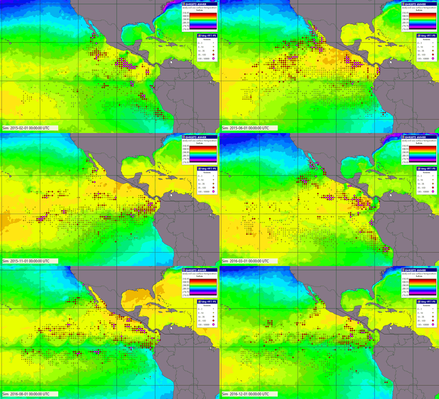
The Pelagic Habitat Analysis Module relates data of catches, tag data, or other biological reports of organisms including tuna, sharks, turtles or harmful algae, to ocean conditions - including temperature, chlorophyll, sea level and any other image in the project - at the places and times of the measurements. It finds the conditions where the species is found most often, and draws a map of predicted habitat that changes with the imagery as the simulation runs. More about PHAM
Drifter
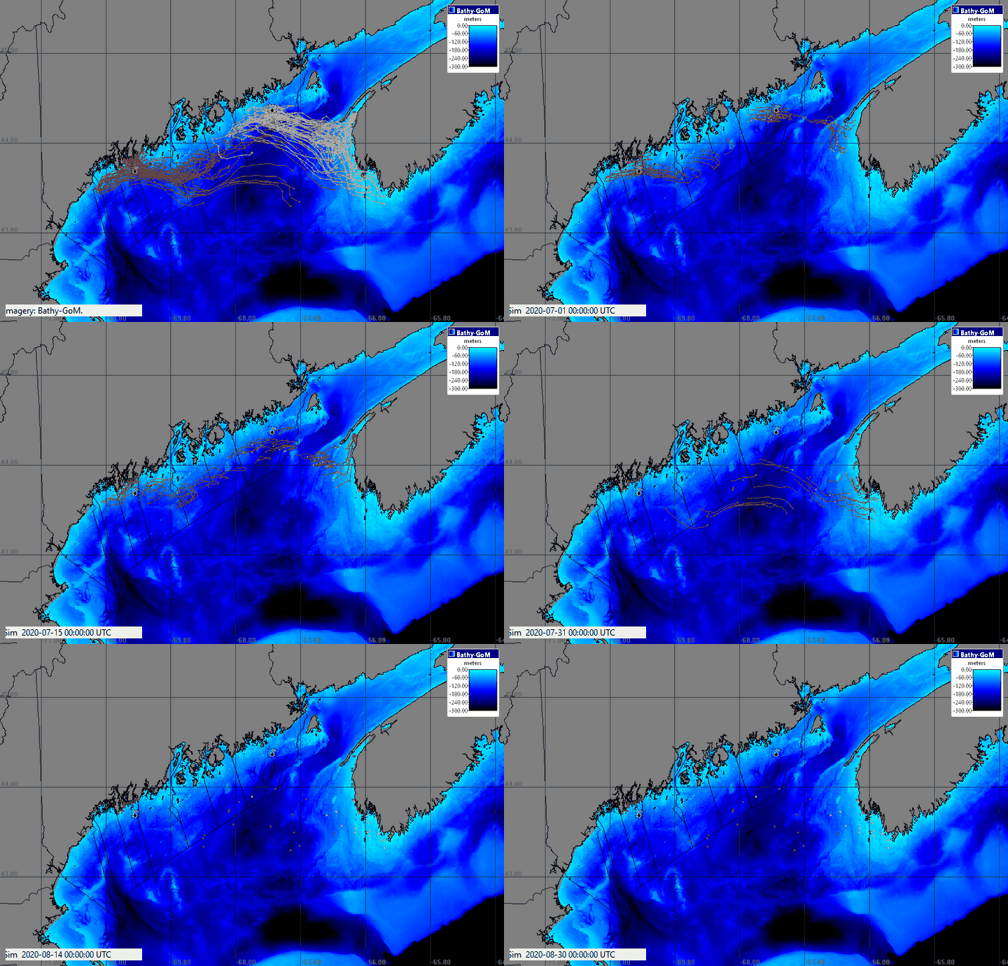
The Drifter releases virtual drifters from one or more sites, such as a farm, an outfall or a spill, and carries them on the project's 2-D or 3-D currents. Wind, sinking, spreading and weathering are options. Drifting backward in time shows where water or material reaching a place came from.
Tracker
The Tracker shows and replays animal tracks, such as turtles, fish and birds with satellite tags. It works out how each animal moved relative to both land and through the water, and reads the imagery at every point of the track. Filters, plots and exports to CSV are also included for track analyses.
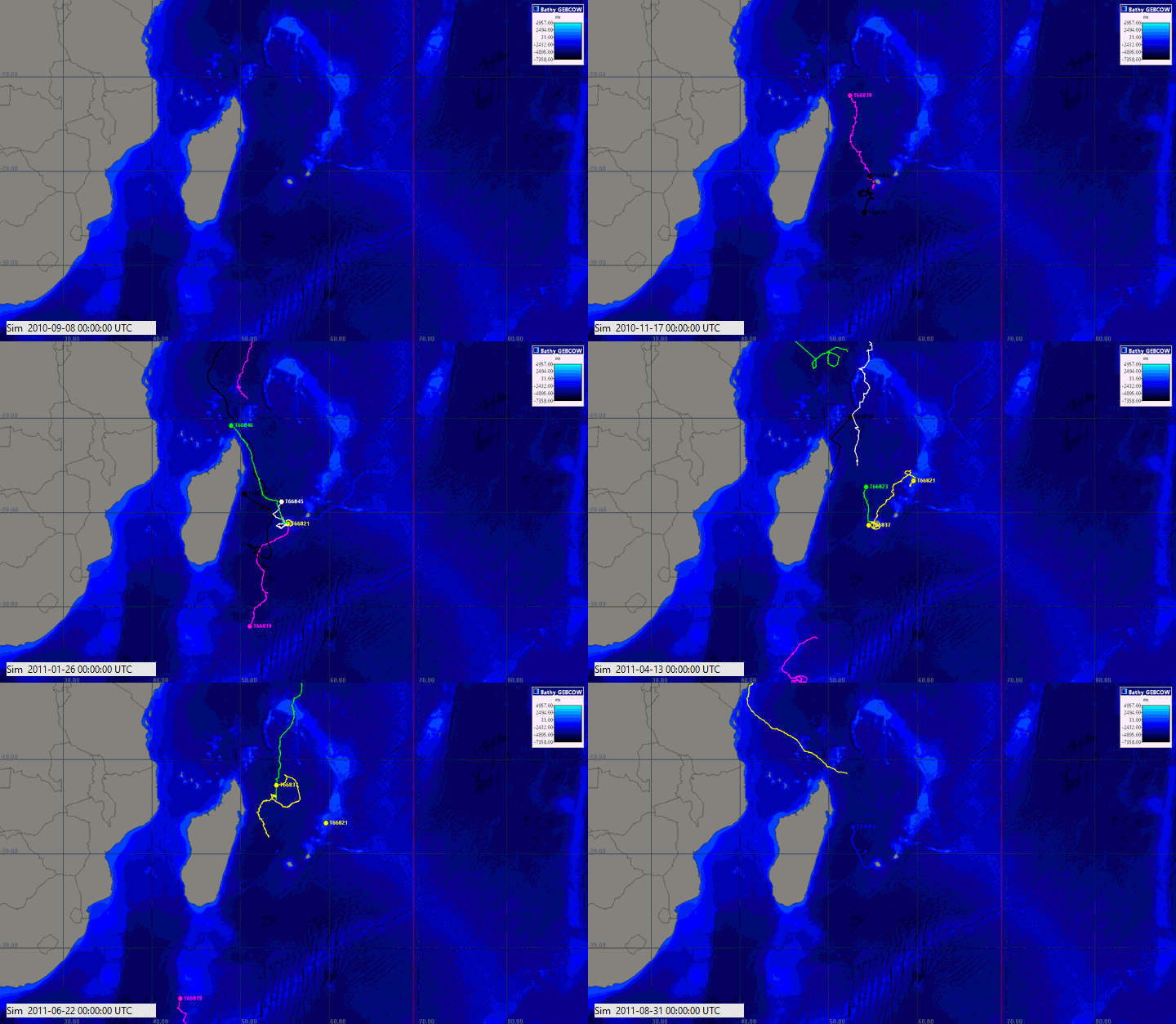
Moving Tracks
Moving Tracks plays back ships, tagged animals and other moving objects along their tracks with the simulation. It reads AIS ship records and animal tag exports, and can display ships and other information from a live AIS feed.